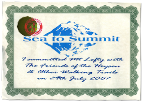
This 31km hike was in honour of the late George Driscoll, author of this particular Sea to Summit route, as published in the "50 Real Bushwalks Around Adelaide".
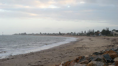
Brighton Beach to Mt Lofty Summit
This hike took 9 hours I think, from 8am to 5pm, and was a hike organised by The Friends of the Heysen Trail. We met at the kiosk next to the caravan park at Brighton, dividing into two groups, one group to hike the whole way today, and a second group to finish at Belair and complete the rest of the hike next week.
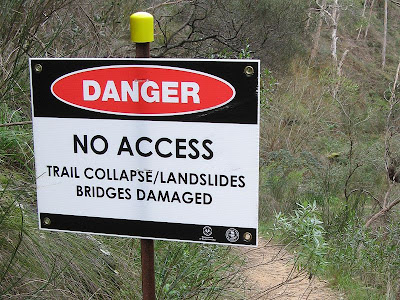
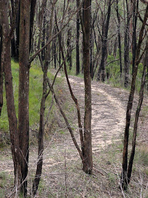
With the 27 people hiking the whole trail we set off, hiking through a mixture of conservation parks, national parks, fire trails, reserves, walking paths and roads. We set a good, fast pace to ensure we made it to Mt Lofty Summit before sunset. It was steep early on, then again through Belair National Park, but generally, despite the overall 727 metre altitude climb it wasn't particularly steep. Following the railway line from Shepherds Hill to Belair National Park was quite flatish, as was sections of the Crafers to the summit.
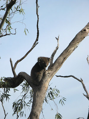
Hiking beyond the freeway exit at Crafers was my favourite section, following little used fire tracks and trails through the bush. It was a little eerie as the temperature dropped and the fog came in. The morning had been a little drizzly, and through Belair National Park and these trails near the summit their was lots of water around, so all our shoes got a good soaking. When we reached the summit it was eight degrees (having been 17 degrees earlier), but strangely it didn't feel too cold given the tough hike we had just completed.
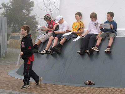
Graham brought five of his Year 6/7 students along, they had done some training hikes, and were just bundles of energy leading the pack. They quietened down a few times, but were quickly revived with food. We had lunch at Belair National Park, Trevor and another cooked us up some sausages (not recommended for hiking tho!).
 During the group hysteria of having completed the 31km hike, I agreed to do the 50km hike of October's Trailblazer with Coleen and Jenny. Some fervorous sms'ing also had Tim in too, so the four of us have teamed up for it. The Trailblazer is a fund raising hike, from Adelaide Oval to Kuipto, with various endurance distances available, I think 18km (end of Linear Park), 50km (Mt Lofty Summit) and 100km (Kuipto Forest). You have 24 hours to complete the event in your team, and they have support stuff along the way. 50km can't be that much tougher than 31km... surely? Btw I had never hiked 31km before in one day, I think 25km was my previous record.
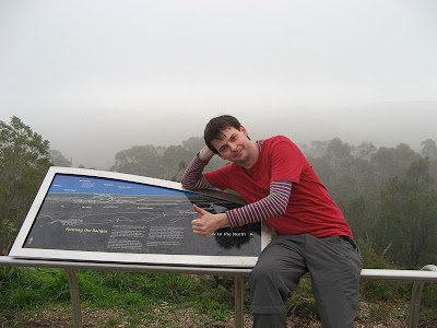
 50 Real Bushwalks Around Adelaide
2004, Scout Outdoor Centre,
ISBN 0 64630 510 7
View Trail Notes

Map from the book
View map in full screen mode